Ultimatum Finesse is a proudly citizen-owned, Gaborone-based geospatial firm built around one idea: a map is only useful if the people using it can trust every point on it.
Download Our Company Profile (PDF)A multidisciplinary geospatial consultancy, built in Gaborone
Ultimatum Finesse (Pty) Ltd was established in 2013 to provide professional, innovative and technically sound services across the geospatial environment: drone services, surveying, mining, construction and BIM. The Civil Aviation Authority of Botswana (CAAB) certifies us for commercial drone operations.
Our Vision: To create a more informed and sustainable future where geospatial insights are seamlessly integrated into decision-making across diverse industries.
Our Mission: To be the leading innovator in geospatial solutions, empowering our clients to make informed decisions through the power of GIS, advanced surveying techniques, and drone technology.
We work across business, agriculture and infrastructure, for government departments, private companies and individual landowners alike. Our seven service disciplines work together: a single drone flight can feed a GIS layer, a BIM model and a volumetric survey at the same time.
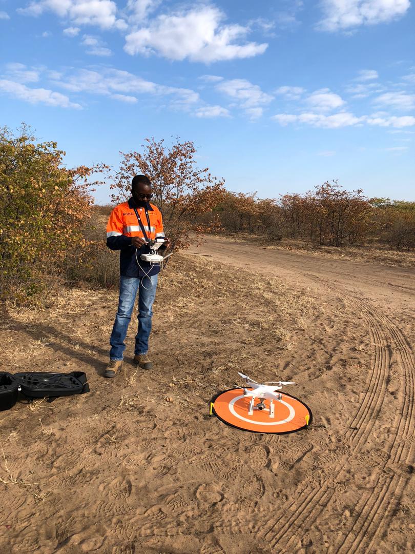 Field drone deployment, Botswana
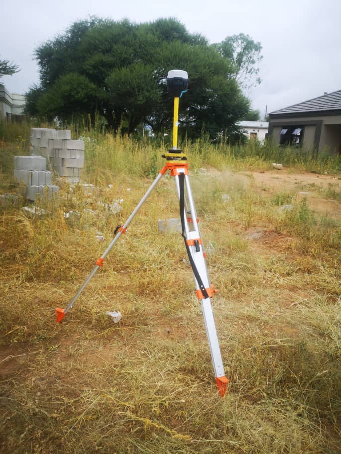 RTK GPS survey rover
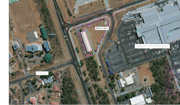 Project boundary GIS mapping
Founded in Gaborone
Established as a multidisciplinary geospatial consultancy serving Botswana’s survey and mapping needs.
Commercial drone operations
Certified by the Civil Aviation Authority of Botswana for commercial drone surveying and mapping.
3D scanning & BIM division launched
Added high-definition laser scanning and as-built BIM alongside aerial LiDAR and photogrammetry.
50+ projects, nationwide reach
Seven integrated service lines delivering geospatial vdata from the Kalahari to the Okavango Delta.
How we work
The values behind every dataset
Precision First
Every survey is validated against ground control. If it’s not accurate, it doesn’t leave the office.
Practical Innovation
We adopt new capture technology when it makes a project faster, safer or cheaper, never for its own sake.
Local Terrain Knowledge
More than a decade working Botswana’s landscape means we plan around the terrain, not against it.