
You do not need a geomatics degree to commission a survey. These are short, plain-language explainers we like, picked to match each service we offer.
How LiDAR works, explained simply
We are running LiDAR surveys on Gaborone Dam and Lotsane Dam right now. This is the clearest plain-language explanation we have found of how a laser scanner turns pulses of light into a 3D map, no engineering background required.
Read on Explain that Stuff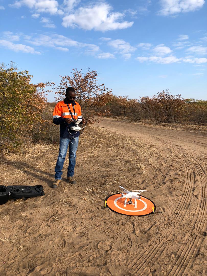
What is GIS?
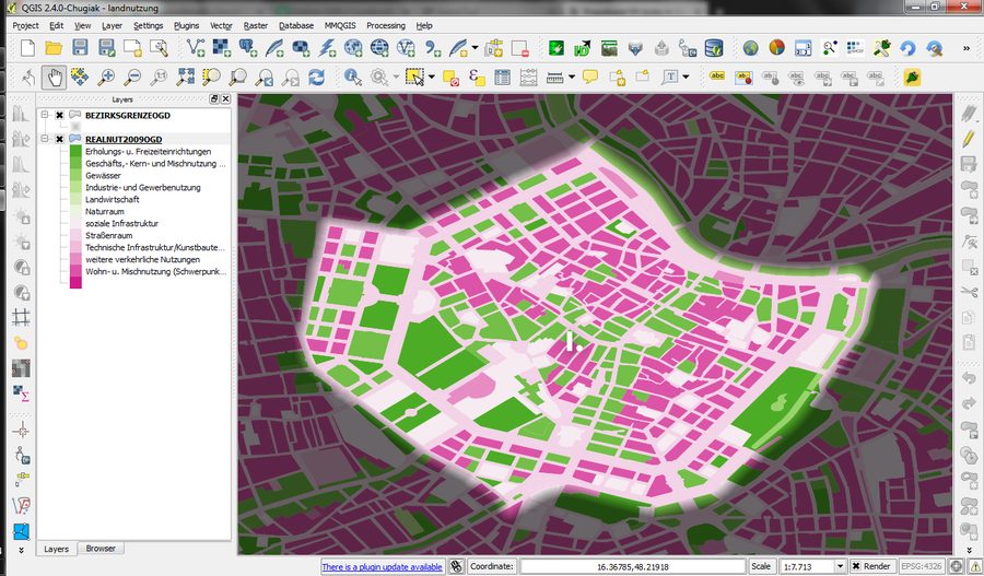
Esri, the company behind the software most GIS teams use, explains what a geographic information system actually does and why businesses rely on one.
Read on Esri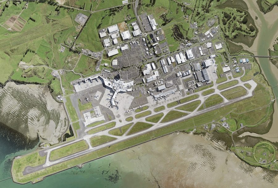
What is an orthomosaic map?
Heliguy breaks down how dozens of overlapping drone photos become one accurate, measurable map, and why that is different from a regular aerial photo.
Read on Heliguy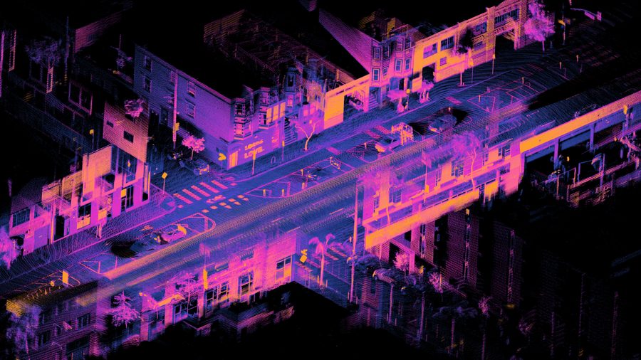
Point clouds for beginners
FARO builds the laser scanners our industry uses. This introduction shows how millions of scanned points become a measurable 3D model of a site.
Read on FARO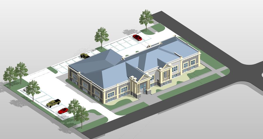
What is BIM?
Autodesk explains Building Information Modelling: a shared 3D model that architects, engineers and site teams can all update from the same data.
Read on Autodesk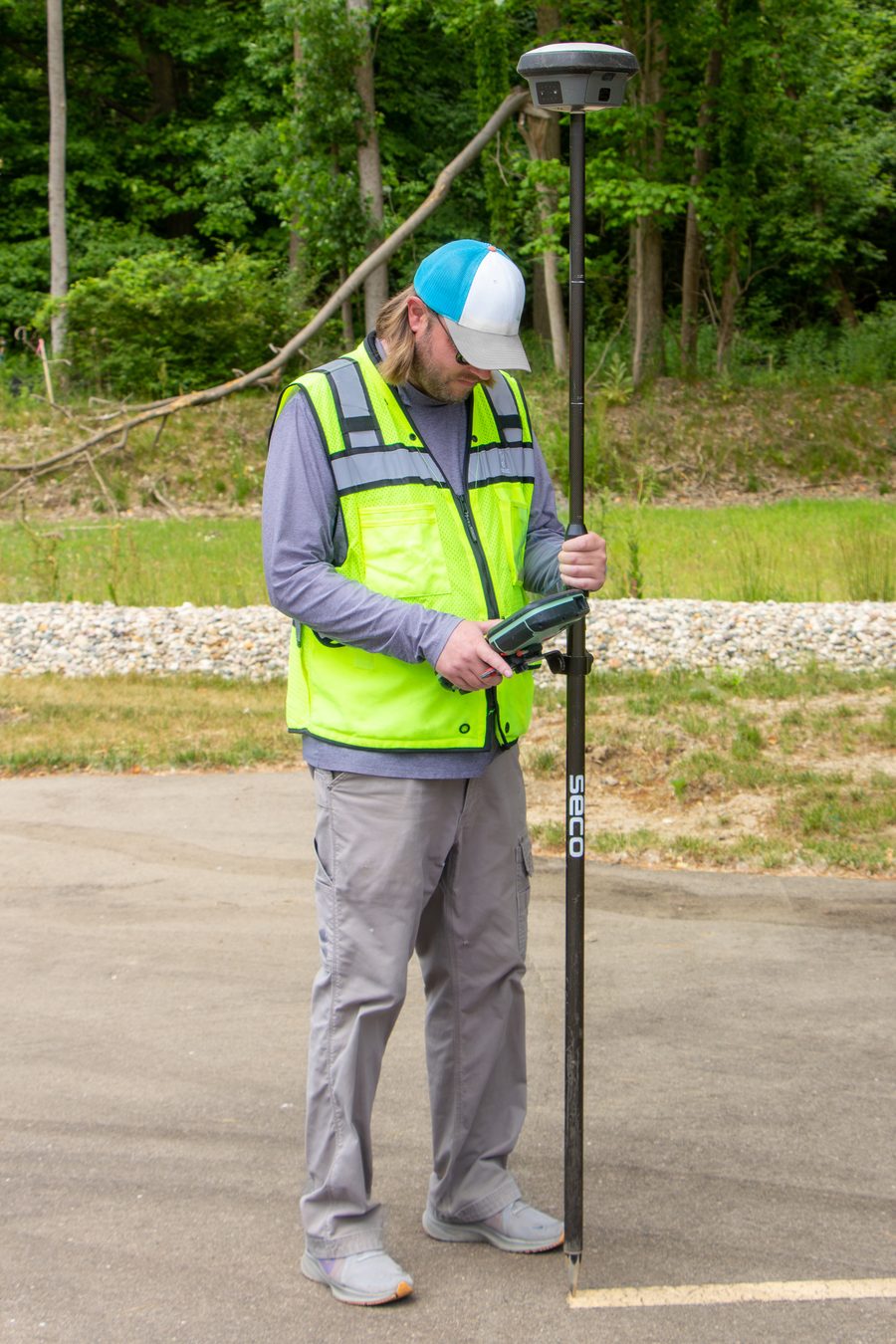
Introduction to RTK GPS
Emlid, a GPS equipment maker, explains how a base station and a rover talk to each other to bring survey accuracy down to a centimetre.
Read on Emlid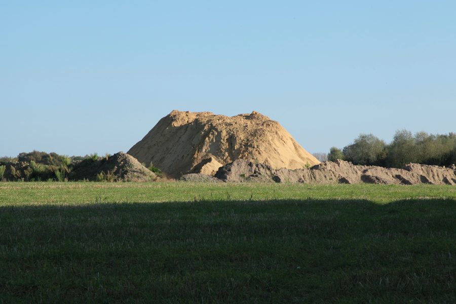
Getting accurate stockpile measurements
DroneDeploy looks at what actually moves the needle on stockpile accuracy, and where volume calculations tend to go wrong.
Read on DroneDeployThese are external articles we find genuinely useful. We do not control their content and are not affiliated with their publishers.
Photo credits: underdarkGIS, Land Information NZ, Daniel L. Lu, Archdraw, J. Wysko and Frank Vincentz, via Wikimedia Commons (CC BY / CC BY-SA).