
Seven disciplines. One geospatial dataset.
Each service below can stand alone, or feed into the others from a single field capture. Explore what each discipline covers and where it’s used.
GIS Applications
Geographic Information Systems turn scattered field data into structured, queryable layers built for the sectors that depend on accurate spatial records.
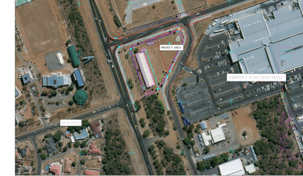
Aerial and Mobile LIDAR
Drone-mounted and vehicle-mounted LiDAR captures dense, accurate elevation data over large or hard-to-reach areas in a fraction of the time of ground survey alone.
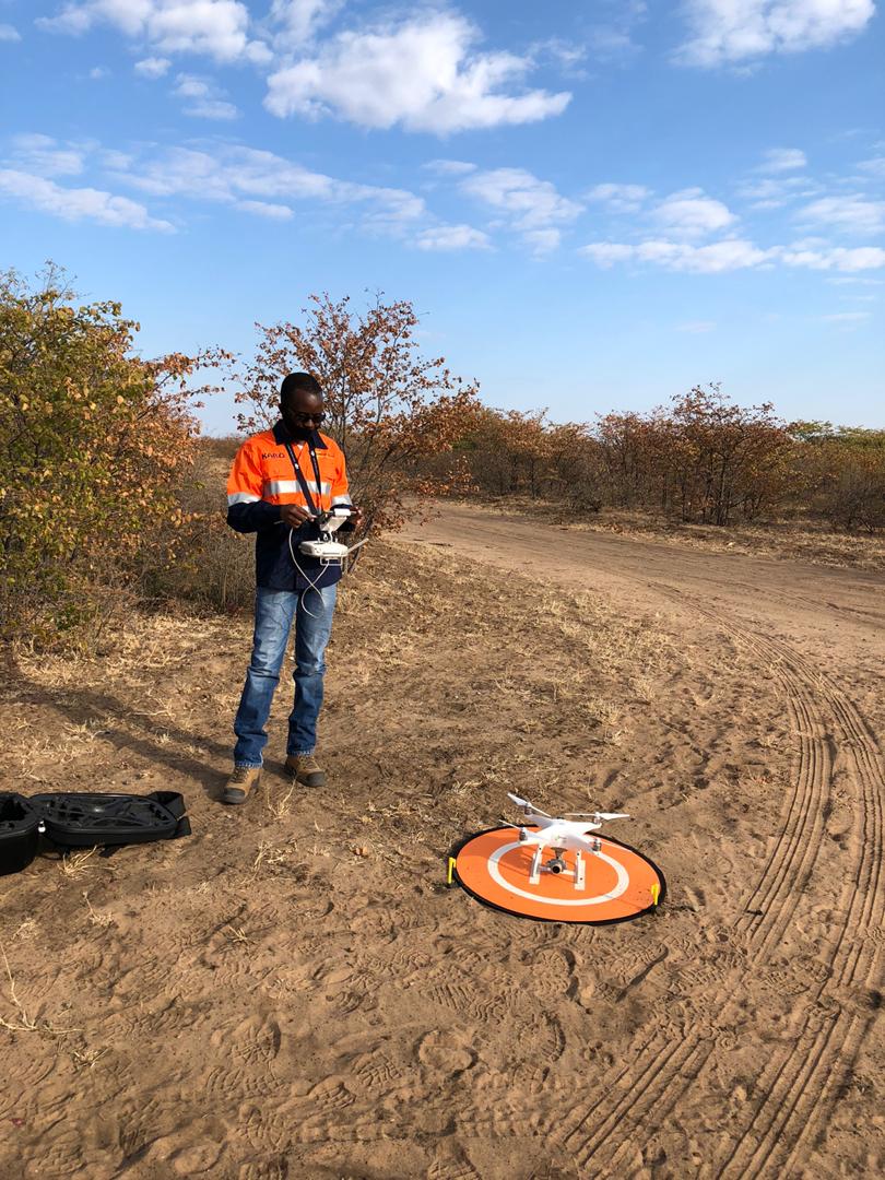
3D High Definition Laser Scanning
Millimetre-accurate point clouds support volumetric measurement, as-built documentation and simulation, from single rooms to entire industrial sites.
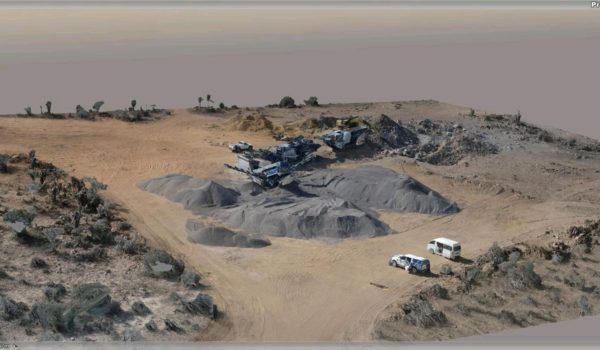
Building Information Modelling
We convert point cloud data into structured BIM models that support the full building lifecycle, from preliminary design through to facilities management.
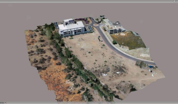
Aerial Photography and Photogrammetry
High-resolution aerial imagery processed into orthomosaics and 3D terrain models for planning, monitoring and reporting.
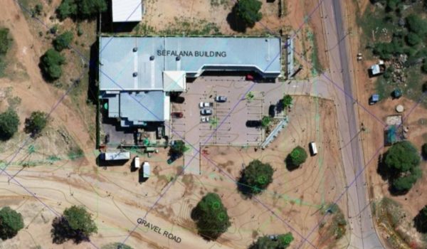
Surveying and Mapping
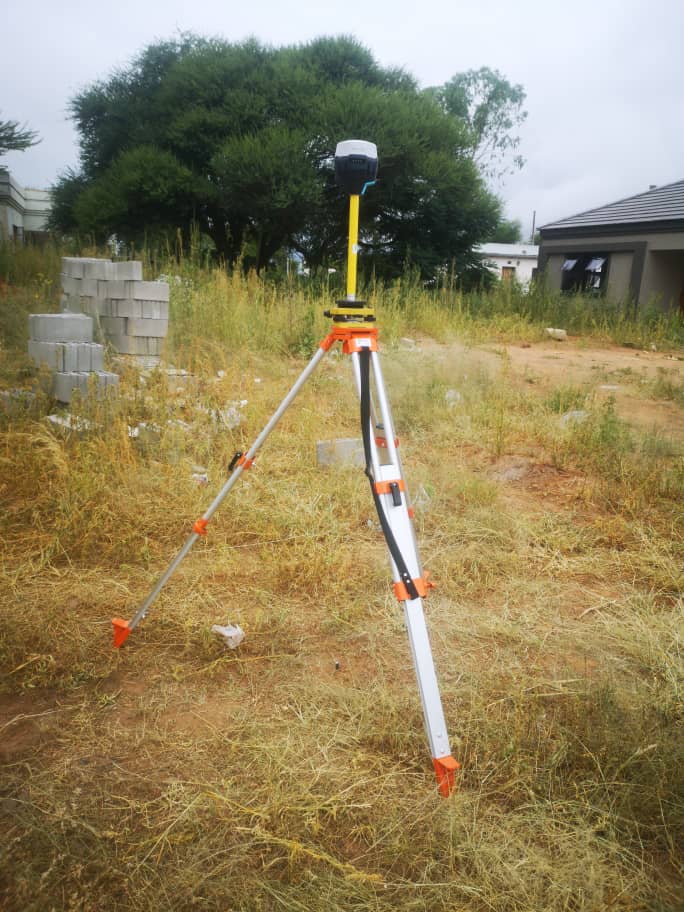
We use static, dynamic and real-time kinematic survey methods to answer specific spatial questions: where, how much, how dense, and what has changed.
Handheld LiDAR Stockpile Scanning
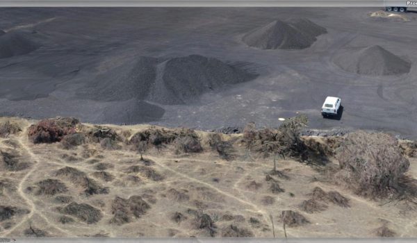
Walk-around handheld LiDAR scanning captures stockpiles in minutes, giving mines, quarries and aggregate yards fast, repeatable volume measurements without shutting down the working area.
Not sure which service fits your project?
Send us the site, the scale and the deadline. We’ll recommend the right capture method.